


ArchiSense: Redefining Heritage Preservation Through Technology
ArchiSense represents a cutting-edge software solution that harnesses the power of advanced geospatial technology, particularly LiDAR and photogrammetry, to transform the field of archaeology. This tool is designed to provide unparalleled precision in documenting, analyzing, and interpreting archaeological sites, empowering archaeologists, historians, and conservationists with a deeper, more insightful understanding of our cultural heritage. By merging “archi” (from archaeology) with “sense,” this solution conveys an enhanced sensory perception of archaeological landscapes. ArchiSense not only captures intricate details of ancient sites but also brings them to life through dynamic 3D visualizations, aiding in preservation, research, and public engagement
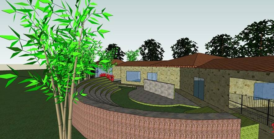
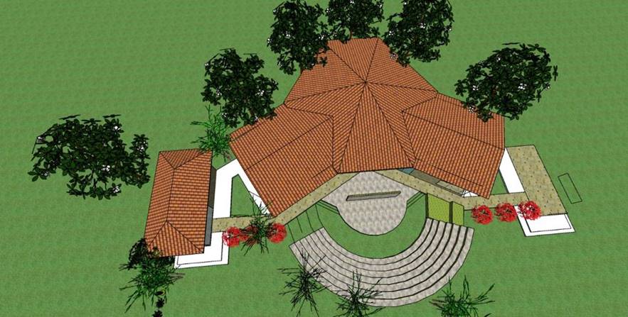
Archaeology Interpretation Center (AIC)
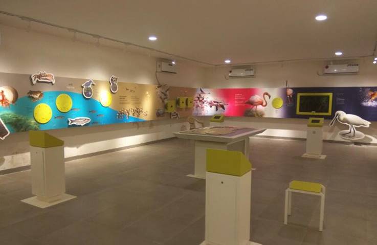
At the heart of ArchiSense is the Archaeology Interpretation Center (AIC) – a platform dedicated to making archaeological findings accessible and engaging for the public. AIC serves as an educational gateway, offering interactive exhibits, workshops, and guided tours that bring historical narratives to life. The center also facilitates research and conservation efforts, contributing to the long-term preservation of cultural heritage.
- Advanced Visualization
- Data Integration & Security
- Comprehensive Documentation
- Enhanced Engagement & Education
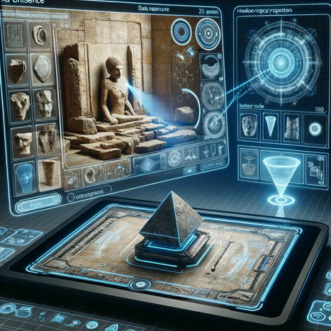
ArchiSense offers intuitive tools for visualizing archaeological data in 2D and 3D, including orthomosaic maps and detailed 3D point clouds, enabling stakeholders to make accurate measurements, volume calculations, and conduct insightful before-and-after comparisons.
Seamlessly integrating with Google Maps and OpenStreetMap, ArchiSense supports controlled access and secure data uploads, ensuring data is accessible yet protected.
Equipped to produce orthomosaic maps, digital models, AutoCAD drawings, and detailed site reports, ArchiSense facilitates efficient and accurate documentation tailored to the needs of heritage preservation.
ArchiSense’s visualization tool is designed to inspire curiosity and foster understanding, making it ideal for public exhibits and educational initiatives.
- High-Accuracy Documentation
- Remote Collaboration
- Interactive Research and Public Engagement
- Informed Conservation Decisions
- Efficient Reporting
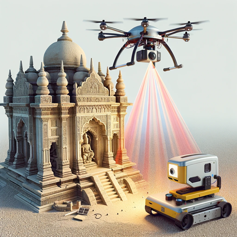
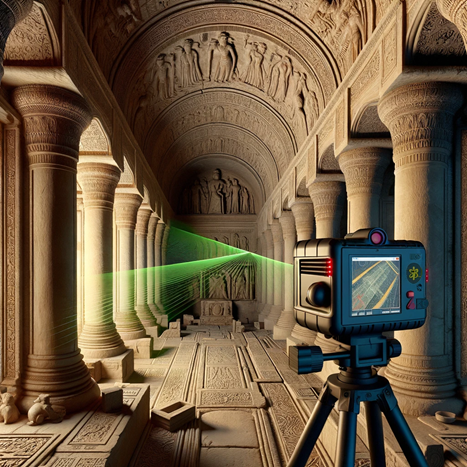
Leveraging LiDAR and photogrammetry, ArchiSense captures data with remarkable precision, documenting monuments in comprehensive 3D.
Its online platform supports remote access and team collaboration, enhancing productivity and communication.
Interactive visualizations and data overlays make ArchiSense a powerful educational tool for museums, schools, and heritage exhibitions.
With robust analysis tools, conservationists can plan preservation strategies grounded in detailed, measurable data.
Streamlined reporting features support rich, comprehensive documentation complete with site histories, preservation statuses, and visitor amenity details.
Empowering Cultural Heritage Preservation
As a one-stop solution, ArchiSense sets the standard for heritage documentation and preservation, combining advanced data processing with a focus on usability. ArchiSense is not just a tool—it is a bridge connecting the past with future generations, enabling researchers, conservationists, and the public to engage meaningfully with our shared history.