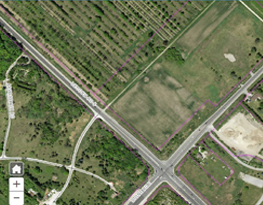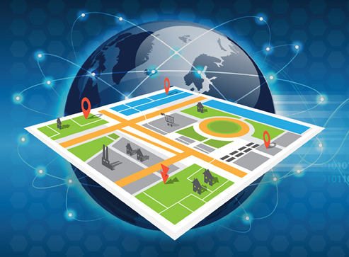
Geo-Spatial
We at SAAR GEOSPATIAL are invested in the development, implementation and deployment of geospatial technology across all business sectors in India. We at SAAR realize the future potential of GIS technology and possess the technology and the manpower required to undertake small, medium and large scale GIS based projects around the globe.
Geospatial technologies include the Global Positioning System (GPS) & other Global Navigation Satellite systems (GNSS), total stations to measure angles & distances, Light Detection & Ranging (LiDAR), Remote Sensing (RS, which includes multi-spectral satellite imaging & aerial ortho-photography), Location-Based Services (LBS), Computer-Aided Design (CAD), & Geographic Information Systems (GIS). The industry includes basic & applied research, technology development, & applications to address all types of planning, decision-making, & operational needs.